GIS Skill Set
Fascinated by maps? Take your industry knowledge to the next level and learn how to make your own!
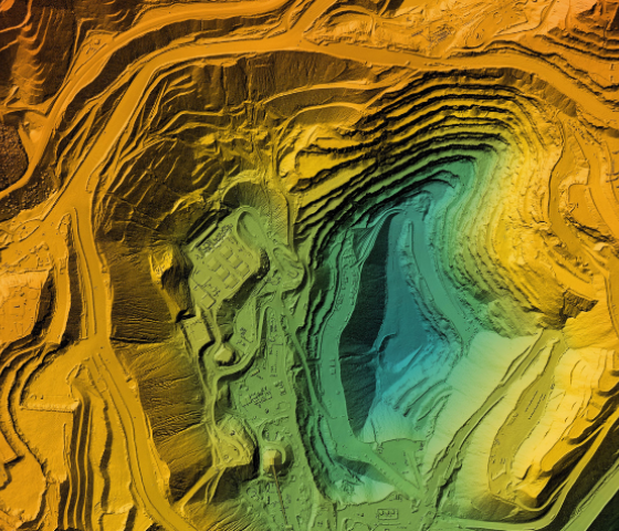
Geographic Information Systems (GIS) or Spatial Information Systems (SIS) has been a growth industry within conservation for approximately fifteen years. In simple terms it is computer mapping, but it involves creating, storing and managing geographic information to solve geographical problems. Whilst it used to be wholly a specialist subject, it is now considered that at least a low level of ability is required. This skill also applies to the mining, local government, health, transport, property development and marketing industries. This Skill Set is based on QGIS freeware.
CampusesBroome Campus.
When Semester 2, 2024.
Study Mode On campus.
This introductory Skill Set encompasses the ability to access, securely store, retrieve and display data in a map. Intellectual property, database management, attribute tables and mapping equipment are also covered. Information on data types, scale and resolution are addressed. Finally map layout and production with all the essential elements of a printable map is performed.
This Skill Set is suitable for people who can use a computer, navigate file structures, rename files and folders and read paper maps including coordinates. Prior computer mapping experience is not necessary.
Unit:
AHCLPW410 Produce maps for land management purposes
CPPSSI2013 Store and retrieve basic spatial data
Important information
Select your preferred campus and apply
Semester 2
Details
Course fees
(Tuition fee* $341.60 + Resource fee $16.35 )
(Tuition fee* $102.90 + Resource fee $16.35 )
Units and fees
Core
| National ID Unit title | General fee | Concession | Resource fee |
|---|---|---|---|
| AHCLPW410 Produce maps for land management purposes | $292.80 | $88.20 | $10.50 |
| CPPSSI2013 Store and retrieve basic spatial data | $48.80 | $14.70 | $5.85 |
Our estimated fees are based on:
- Full time study in 2024.
- All units required to gain this qualification. If you're a student that has successfully completed a lower-level qualification that is a prerequisite for this course, you'll only pay for the units that you need to enrol in to complete this course.
- For more information regarding eligibility and fees, please visit the DTWD website.
These fees are estimates only and depend on your eligibility for government funding, concession rates, the units you have already completed or seek to be recognised under Recognition of Prior Learning (RPL). Additional resource, material and/or equipment costs may apply. Visit our Fees and Charges page for more information, including on consumer rights.